

Our Core Mission
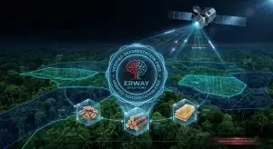
At ERWAY, we bridge the gap between physical land and digital intelligence. By utilizing a high-precision 6-satellite ecosystem, we transform raw geospatial data into actionable insights for agriculture, forestry, and global supply chains. Our mission is to provide the “Single Source of Truth” that empowers organizations to achieve absolute transparency, regulatory compliance, and operational resilience.
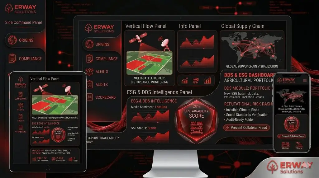
Integrated Solutions Portfolio
1. Precision Agriculture
Focus: Yield optimization and input efficiency.
Action: We monitor crop health at the plot level, providing VRA (Variable Rate Application) maps that reduce costs and maximize harvest quality.
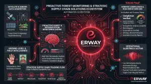
2. Forest Monitoring & Intelligence
Focus: Deforestation analysis and land integrity.
Action: We track forest loss caused by mining, fire, or illegal logging, providing year-by-year satellite evidence to protect natural assets.
3. EUDR Compliance
Focus: Regulatory market access.
Action: We automate the geolocation and “deforestation-free” verification required for the European Union Deforestation Regulation (EUDR).
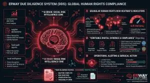
4. Due Diligence – DDS
Focus: Human rights and supply chain ethics.
Action: We screen for child labor, forced labor, and modern slavery, ensuring that supply chains meet global ethical and social standards.
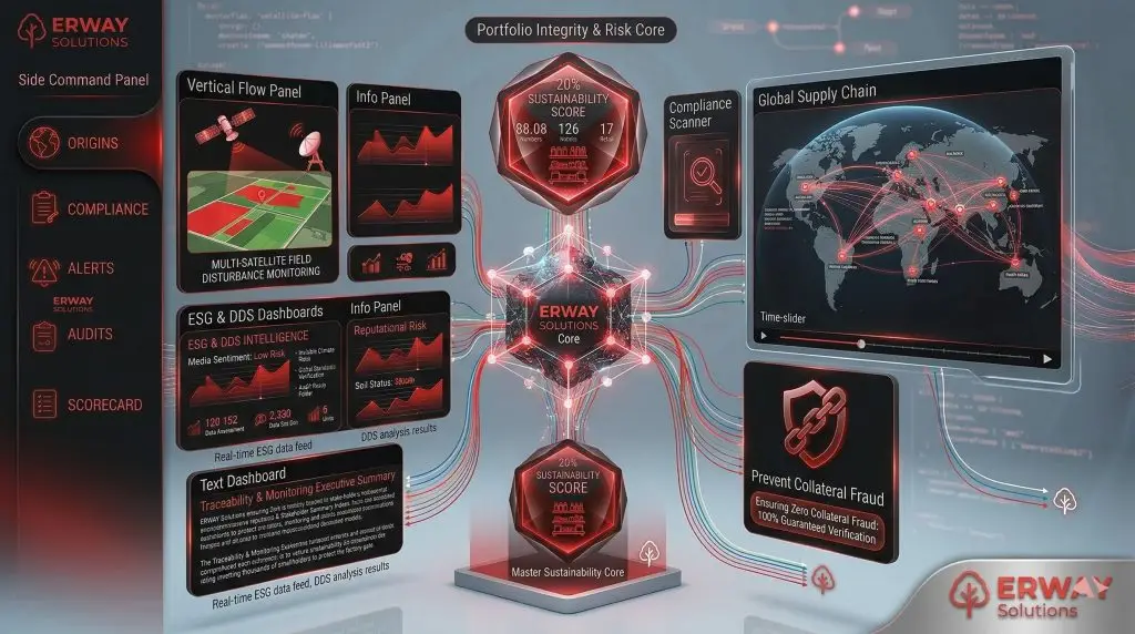
5. ESG Solutions
Focus: Environmental and social governance reporting.
Action: We consolidate field and social data into audit-ready ESG dashboards for transparent stakeholder communication.
6. Carbon Tracking
Focus: Net-zero targets and footprint analysis.
Action: We quantify the carbon sequestration of forests and the footprint of agricultural production to support global climate goals.
ERWAY transforms raw geospatial data into a high-precision digital truth engine, securing global trade and agricultural resilience through a 6-satellite ecosystem. We bridge the gap between physical land and regulatory mandates, turning complex environmental and social risks into measurable strategic assets for the global market.
Key Outcomes
The integration of ERWAY’s satellite intelligence into your operations fundamentally redefines the relationship between field reality and financial security. By automating the transition from raw satellite feeds to audit-ready evidence, we eliminate the costly ambiguity often found in manual reporting and legacy supply chain models. Our platform doesn’t just monitor land; it provides a proactive defense mechanism against evolving global mandates like EUDR and CSDDD. This ensures that every stakeholder—from farm managers to institutional lenders—operates with a unified, verified dataset. Ultimately, we provide the operational integrity required to navigate the complexities of 2026’s global trade landscape with absolute confidence.
get in touchWe are always ready to help you and answer your questions
International Sales & Support For inquiries within Europe and international sales consultations:
Location: Vienna, AUSTRIA
