
- WebIn the browser
- DesktopInstalled client
- iOSiPhone and iPad
- AndroidPhone and tablet
One systemModular by designBuilt around what you need.
EUDR software, PPWR compliance, EUFLR forced labour compliance, Plant Health monitoring and Legality Assessment on one system — switch between modules and products as you need them, and every verdict traces back to the evidence and the rule behind it.
- Plot geometry
- Satellite evidence
- Filed statements
How a shipment becomes a filing
Follow one lot of palm oil from a mapped block to a filed statement
Seven steps, the ones the regulation actually describes. Every company and coordinate below is invented for the demonstration.
- Mapped palm block, cleared
- Forest cut for palm after 2020, rejected at the mill
- Segregated palm oil, Abidjan to Hamburg
ERWAY · Deforestation Monitor
Polygon checks
5 plots
- Geometry valid · closed, no self-intersection5/5
- Coordinates inside declared country5/5
- No overlapping or duplicate claims5/5
- Polygon supplied where area > 4 ha5/5
- Deforestation-free · 31 Dec 2020 baseline4/5
What the pass found
- Plot
- DBR-07 · Doubloué Ridge Holding
- Forest loss
- 18.4 ha · first seen 2026-05-19
- Cleared
- After the cut-off · not exempt
- Exposure
- Offered at Bralebo Palm Mill
Risk mitigation
- DBR-07 excluded — no purchase order raised
- Segregation confirmed at Bralebo Palm Mill — separate press run
- 4 mapped blocks re-verified · 128.4 ha, all pre-2020
- Evidence pack sealed to the draft statement · ERW-DEMO-2026-0147
Segregated lot cleared for export · 128.4 ha · residual 1.2 / 10
01 · Geolocation
Every plot is mapped before anything moves
A satellite pass resolves Kabrenza Palm Estates SA's four oil palm blocks in the Nawa region of Côte d'Ivoire. Every block was planted on ground that was already cleared before 2020, so each boundary comes back clear against the baseline.
Plot outlines and vehicles are drawn larger than life so they are visible at this altitude.
02 · Segregation
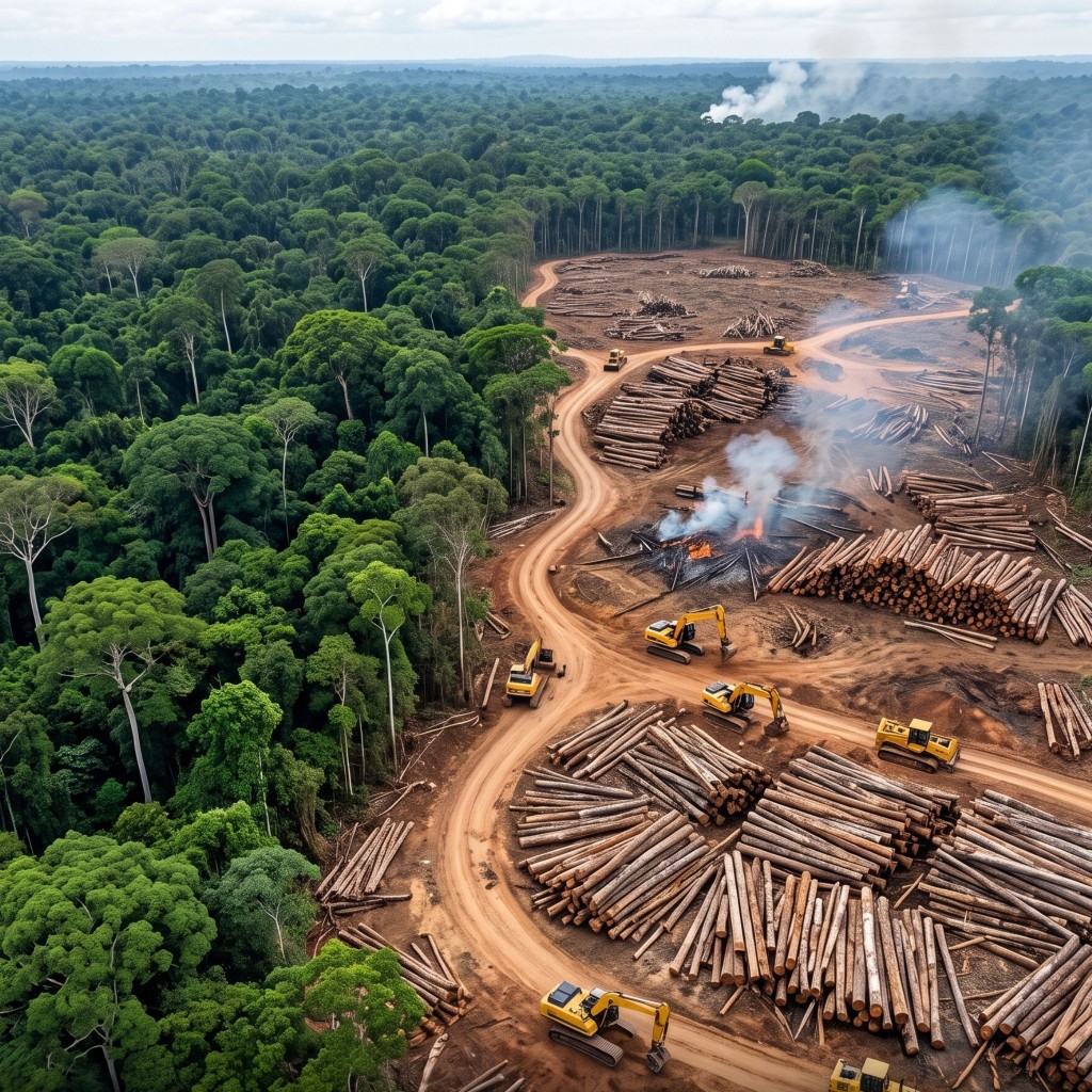
Rainforest cut for palm after 2020 never joins the lot
Rewind the ground to the 2020 baseline and it is rainforest, with Kabrenza Palm Estates SA's four blocks already planted — cleared long before the cut-off, which is exactly why they pass. Run it forward and one neighbouring holding changes: canopy felled, young palm going in on fresh rows. That single change is why its fruit is rejected at Bralebo Palm Mill rather than three parties later in Germany.
This step runs the ground from the 2020 baseline to today.
03 · Risk & mitigation
The flagged lot is stopped before anyone buys it
The pass downlinks straight into Erway, which runs every submitted boundary through the same five checks — geometry, location, duplicates, polygon coverage, and deforestation-free against the 31 December 2020 baseline. Four plots pass all five; Doubloué Ridge Holding's fails the last. The lot is excluded, segregation at Bralebo Palm Mill is confirmed, and the evidence is sealed to the statement — so what sails is negligible risk, and it can be shown.
Risk scores, case references and dates are illustrative.
04 · Export
128 hectares of evidence travel with the cargo
The segregated crude palm oil loads at Abidjan and crosses to Hamburg. The geometry, the imagery and the risk verdict move with it as a dossier, not as an email thread somebody has to reconstruct at the border.
05 · Operator
The importer files, and gets a reference number
Halbrandt Rohstoffe GmbH places the palm oil on the EU market first, so the Due Diligence Statement is theirs to submit. TRACES returns reference 26XXDEMO0000004A1.
06 · Downstream operator
The refiner files citing the importer's reference
Marnholt Ölwerke GmbH refines the crude oil into the fraction that ends up in food and cosmetics, and files its own statement — citing 26XXDEMO0000004A1, the reference the importer received in step 05, instead of re-running due diligence that has already been done and can be pointed at.
07 · Trader
The chain ends on a shelf, and it is still traceable
Weldau Handelsgruppe AG puts the finished goods on shelves and files citing 26XXDEMO0000004B7, the reference the refiner's statement received in step 06. Three statements, one origin, and every reference resolves back to four block boundaries in the Nawa region.
Solutions
Five products, one set of supplier and plot data
Record a supplier or map a plot once and all five products can read it. Pick the job you came here for — each has its own interactive tour, and none of them needs a signup.
EUDR Compliance
Prove a shipment is deforestation-free
Import supplier plot geometry into EUDR compliance software, score it against the 2020 forest baseline with satellite evidence, collect legality answers, and file the Due Diligence Statement to the EU Information System without leaving the platform.
- All seven regulated commodities
- Plot-level verdicts you can defend line by line
- DDS filing with the reference stored against the process
PPWR Compliance
Two lists: what binds you now, and what nobody can calculate yet
The EU packaging rules have applied since August 2026, but a third of the headline obligations name a percentage without naming the method for reaching it. The platform keeps those apart, packaging by packaging, and never signs a declaration the evidence does not support.
- Seven compliance states with their legal reasoning — no score
- Annex VII technical file and Annex VIII declaration, assembled from the assessments
- Registration and reporting tracked per Member State
EUFLR Compliance
The file an authority asks for, ready before the 30-day letter
From 14 December 2027 the EU bans products made with forced labour and, when an authority asks, gives you 30 working days to show your chain. The platform builds that answer now, product line by product line, from the supplier data you already hold for EUDR and PPWR.
- Seven exposure states with their basis — no score
- Tier-n supplier map with the share of every component
- Evidence file in the Commission Guidelines' own request order
Plant Health
See which fields are struggling, weeks early
The same boundaries and the same imagery, read for a different question. Each field gets one score out of 100, watched season-long, with an alert when a crop starts to fall behind where it should be.
- One score out of 100 per field, higher is better
- Season timeline you can scrub back through
- Built for lenders, cooperatives, processors and growers
Legality Assessment
Know the legal status of every plot before you commit
Every plot is screened against protected areas, Indigenous and community lands, World Heritage sites, protected wetlands and threatened species. You get one outcome per plot, the strictest restriction tier behind it, a map and an export.
- Five sources; four determine the outcome
- 'Not checked' is never shown as clean
- CSV and GeoJSON exports with every finding
Why ERWAY
Built for the person whose name goes on the statement
Compliance software is easy to demo and hard to stand behind. These are the four things we optimised for instead of the demo.
Every verdict is traceable
A score is never a black box. Open any plot and you get the imagery, the baseline it was compared against and the rule that fired — because someone has to sign this, and defend it later.
Geospatial, not paperwork
Boundaries, imagery, risk and the filing itself live in one system. The alternative is a GIS desktop, a spreadsheet and a shared drive, reconciled by hand every reporting cycle.
One engine, two products
The field you map for a Due Diligence Statement is the field Plant Health watches all season. Map once; the second answer costs you nothing extra.
Built to be argued with
Override a verdict, attach mitigation evidence, record who decided what and when. Real supply chains have exceptions, and a system that cannot hold them gets worked around.
Bring us a supply chain and we will show you its map
Tell us the commodity and roughly how many suppliers you are responsible for. We will walk you through what ERWAY would see, using your own geography rather than ours.
Built for regulated environments
Enterprise-grade data security that meets regulatory expectations
ERWAY protects compliance evidence with end-to-end encryption and a token-based access architecture — so plot geometry, satellite scores and due-diligence records stay reachable only to authorised parties. A distributed posture with controlled backup keeps that evidence available for the retention window the regulation demands, under GDPR-aligned controls rather than a bolted-on checklist.
FAQs
Five questions per product — what it is, who it reaches, what it costs to get wrong, and how it differs from the other four. Pick a product to see its answers, with a link into the page that goes deeper.
Need an intro call?
Bring a commodity and a rough supplier count. We will walk the map with your geography, not a stock demo.
The EU Deforestation Regulation is Regulation (EU) 2023/1115. It covers seven commodities — cattle, cocoa, coffee, oil palm, rubber, soya and wood — and the products derived from them, from leather and chocolate to furniture and paper. Placing any of them on the EU market, or exporting them from it, requires showing three things: the commodity was not grown on land deforested after 31 December 2020, it was produced legally under the laws of the country of production, and a due diligence statement covering that shipment has been filed to the EU Information System.