In the complex world of agricultural lending and insurance, the gap between a client’s declaration and the actual field reality has long been a source of operational risk. ERWAY VEG closes this gap by serving as a high-precision “truth engine” that provides objective, satellite-based verification of crop types and historical land performance. By moving beyond subjective assessments, the platform allows financial institutions to perform accurate credit risk profiling and collateral valuation based on immutable digital proof, ensuring that every financial decision is backed by real-time field intelligence.
The platform’s analytical power is most evident in its 0-8 Risk Scoring scale, which quantifies disturbances such as drought, disease, or fire on a plot-by-plot basis. For insurance providers, this means the ability to generate fire intensity heat maps and precise damage reports that document the exact cause and scope of a loss. This level of transparency not only accelerates claim processing but also serves as a robust shield against fraudulent or exaggerated claims, protecting the insurer’s bottom line while ensuring fair treatment for the producer.
ERWAY VEG transforms agricultural uncertainty into a quantifiable financial asset through high-precision satellite verification. We empower banks and insurers to reduce audit times from weeks to seconds while eliminating the risks of manual error and fraud.
Operational efficiency is the final pillar of ERWAY’s financial solution. By automating the audit process, we reduce the time required for physical field inspections—traditionally taking up to 45 days—to just 1 hour of remote satellite verification . This rapid turnaround empowers banks and insurers to respond to market needs with remarkable speed, transitioning from reactive monitoring to a proactive, data-driven management strategy. ERWAY doesn’t just provide data; it provides the operational integrity required to secure the future of global agricultural finance.
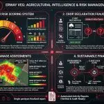
- How does the 0-8 Risk Scoring system work?
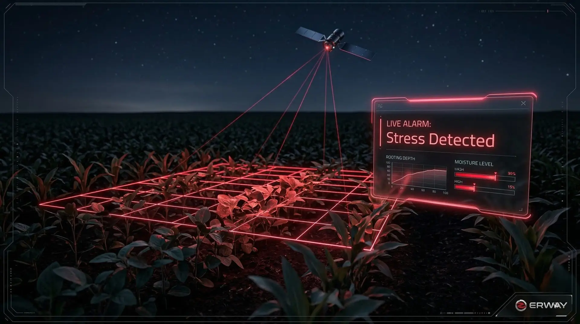
The system measures field disturbances like drought or disease, assigning a code from 0 (Normal) to 8 (Confirmed Critical Loss $\ge$ 50%) to define repayment risks objectively.

- Can the platform detect "Crop Declaration Fraud"?
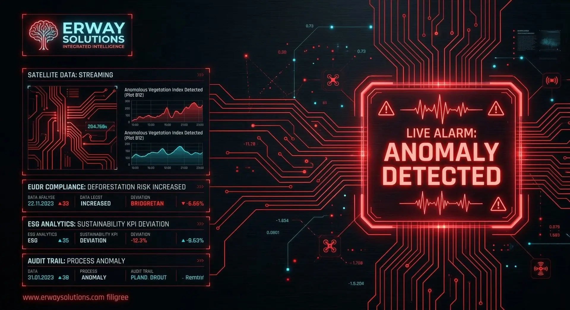
Yes; it compares the client’s declaration with actual satellite classification, identifying mismatches where a low-value crop is declared as a high-value one .

- What data is provided for fire damage assessments?
Insurers receive fire intensity heat maps that use a color scale from green (no burn) to red (high intensity) to document exactly how much of a plot was affected .

- How does this support "Sustainable Finance"?
The platform provides environmental and climate risk reporting, helping institutions develop financial products for producers who practice carbon footprint reduction or eco-friendly farming .


