
- WebIn the browser
- DesktopInstalled client
- iOSiPhone and iPad
- AndroidPhone and tablet
EUDR-tarkvara ja satelliittõendid otsuste jaoks, mida peate kaitsma.
EUDR-tarkvara, PPWR-vastavus, EUFLR sunniviisilise töö vastavus, Plant Health seire ja Legality Assessment ühel süsteemil — liikuge moodulite ja toodete vahel nii, nagu vaja, ja iga otsus on jälgitav tõenditeni ja reeglini, mis selle andis.
- Maatüki geomeetria
- Satelliiditõendid
- Esitatud avaldused
Kuidas saadetisest saab esitatud avaldus
Järgige ühte palmiõli partiid kaardistatud maatükist esitatud avalduseni
Seitse sammu — need, mida määrus tegelikult kirjeldab. Iga ettevõte ja koordinaat allpool on demonstratsiooni jaoks välja mõeldud.
- Kaardistatud palmiplokk, puhas
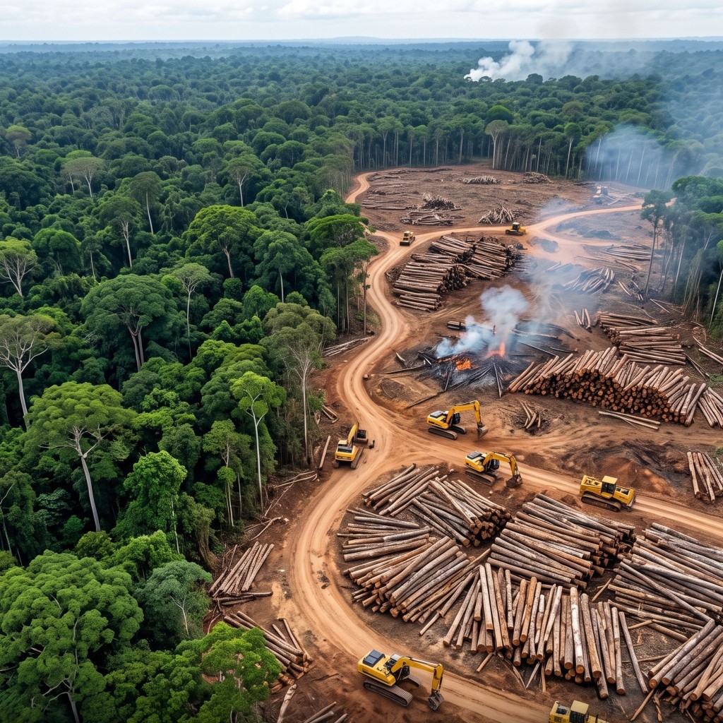
- Pärast 2020. aastat palmi jaoks raiutud mets, veskis tagasi lükatud
- Eraldatud palmiõli, Abidjanist Hamburgi
ERWAY · Metsaraie monitor
Polügooni kontrollid
5 maatükki
- Kehtiv geomeetria · suletud, ilma iselõikumiseta5/5
- Koordinaadid deklareeritud riigi piires5/5
- Kattuvaid ega dubleerivaid nõudeid pole5/5
- Polügoon esitatud, kui pindala > 4 ha5/5
- Metsaraievaba · lähtejoon 31. detsember 20204/5
Mida ülelend leidis
- Maatükk
- DBR-07 · Doubloué Ridge Holding
- Metsakadu
- 18.4 ha · esmakordselt tuvastatud 2026-05-19
- Raiutud
- Pärast lõikumiskuupäeva · ei ole erandiga hõlmatud
- Tarneahela seos
- Pakutud kaudu Bralebo Palm Mill
Riski leevendamine
- DBR-07 välistatud — ostutellimust ei koostatud
- Eraldamine kinnitatud kohas Bralebo Palm Mill — eraldi pressimiskäik
- 4 kaardistatud maatükki uuesti kontrollitud · 128.4 ha, kõik enne 2020. aastat
- Tõendite pakett lisatud avalduse mustandile · ERW-DEMO-2026-0147
Eraldatud partii ekspordiks vabastatud · 128.4 ha · jääkrisk 1.2 / 10
01 · Geolokatsioon
Iga maatükk kaardistatakse enne, kui midagi liigub
Satelliidi ülelend tuvastab Kabrenza Palm Estates SA neli õlipalmiplokki Côte d'Ivoire'i Nawa piirkonnas. Iga plokk on rajatud maale, mis oli juba enne 2020. aastat raiutud, mistõttu iga piir vastab lähtejoonele.
Maatükkide piirjooned ja sõidukid on joonistatud tegelikkusest suuremana, et need oleksid sellel kõrgusel nähtavad.
02 · Eraldamine
Pärast 2020. aastat palmi jaoks raiutud vihmamets ei jõua kunagi partiisse
Kerige maapind tagasi 2020. aasta lähtejoonele ja see on vihmamets, kus Kabrenza Palm Estates SA neli plokki on juba istutatud — raiutud kaua enne lõikumiskuupäeva, mistõttu need vastavadki nõuetele. Kerige edasi ja üks naaberkinnistu muutub: võra on langetatud, noored palmid istutatud värsketesse ridadesse. Just see erinevus on põhjus, miks selle vili lükatakse tagasi kohas Bralebo Palm Mill, mitte alles kolme osapoole pärast Saksamaal.
See samm liigutab maapinda 2020. aasta lähtejoonest tänase päevani.
03 · Risk ja leevendus
Märgistatud partii peatatakse enne, kui keegi selle ostab
Ülelend saadab andmed otse Erwaysse, mis kontrollib iga esitatud piiri samade viie kontrolliga — geomeetria, asukoht, dubleerimine, polügooni katvus ja metsaraievabadus 31. detsembri 2020 lähtejoone suhtes. Neli maatükki läbivad kõik viis kontrolli; Doubloué Ridge Holding ei läbi viimast. Partii välistatakse, eraldamine kohas Bralebo Palm Mill kinnitatakse ja tõendid lisatakse avaldusele — nii et see, mis lõpuks laevale jõuab, kannab tühist riski ja seda saab tõestada.
Riskiskoorid, juhtumiviited ja kuupäevad on illustratiivsed.
04 · Eksport
128 hektarit tõendeid liigub koos lastiga
Eraldatud toorpalmiõli laaditakse Abidjanis ja jõuab Hamburgi. Geomeetria, satelliidipildid ja riskiotsus liiguvad kaubaga kaasas ühtse toimikuna, mitte e-kirja jadana, mida keegi peab piiril uuesti kokku panema.
05 · Ettevõtja
Importija esitab avalduse ja saab viitenumbri
Halbrandt Rohstoffe GmbH viib palmiõli esimesena ELi turule, seega on Due Diligence Statementi esitamine tema kohustus. TRACES tagastab viite 26XXDEMO0000004A1.
06 · Järgmine ettevõtja
Rafineerija esitab avalduse, viidates importija viitele
Marnholt Ölwerke GmbH rafineerib toorõli fraktsiooniks, mis jõuab toidu- ja kosmeetikatoodetesse, ning esitab oma avalduse — viidates 26XXDEMO0000004A1, viitele, mille importija sai 05. sammus, selle asemel et korrata juba tehtud ja viidatavat hoolsuskohustust.
07 · Kaupleja
Ahel lõpeb riiulil ja on ikka jälgitav
Weldau Handelsgruppe AG paneb valmistooted riiulitele ja esitab avalduse, viidates 26XXDEMO0000004B7, viitele, mille rafineerija avaldus sai 06. sammus. Kolm avaldust, üks päritolu, ja iga viide viib tagasi nelja maatüki piirini Nawa piirkonnas.
Lahendused
Kaks toodet, üks väljapiiride kogum
Kaardista maatükk üks kord ja mõlemad tooted saavad seda lugeda. Vali ülesanne, mille jaoks sa siia tulid — mõlemal on oma interaktiivne tuur ja kummagi jaoks pole registreerimist vaja.
EUDR vastavus
Tõesta, et saadetis on metsaraievaba
Import supplier plot geometry, score it against the 2020 forest baseline with satellite evidence, collect legality answers, and file the Due Diligence Statement to the EU Information System without leaving the platform.
- Kõik seitse reguleeritud toorainet
- Maatüki tasemel otsused, mida saad rida-realt kaitsta
- DDS-i esitamine koos protsessi külge salvestatud viitega
PPWR-vastavus
Kaks loendit: mis teid nüüd seob ja mida keegi veel arvutada ei saa
ELi pakendireeglid kehtivad alates augustist 2026, kuid kolmandik peamistest kohustustest nimetab protsenti ilma meetodita selle arvutamiseks. Platvorm hoiab need lahus, pakend pakendi kaupa, ega allkirjasta kunagi deklaratsiooni, mida tõendid ei toeta.
- Seitse vastavusseisundit koos õigusliku põhjendusega — ilma skoorita
- VII lisa tehniline toimik ja VIII lisa deklaratsioon, kokku pandud hinnangutest
- Registreerimine ja aruandlus jälgituna liikmesriigiti
EUFLR-vastavus
Toimik, mida asutus küsib, valmis enne 30-päevast kirja
Alates 14. detsembrist 2027 keelab EL sunniviisilise tööga valmistatud tooted ja annab teile asutuse küsimise korral 30 tööpäeva oma ahela näitamiseks. Platvorm ehitab selle vastuse valmis juba täna, tootesarja haaval, tarnijaandmetest, mida juba EUDR ja PPWR jaoks hoiate.
- Seitse avatuse seisundit koos oma alusega — ilma skoorita
- N-tasandiline tarnijakaart iga komponendi osakaaluga
- Tõendite toimik komisjoni suuniste enda nõudejärjekorras
Plant Health
Näe, millised põllud on hädas, nädalaid varem
Samad piirid ja samad satelliidipildid, loetuna teistsuguse küsimuse jaoks. Iga põld saab ühe skoori sajast, mida jälgitakse kogu hooaja jooksul, koos hoiatusega, kui põllukultuur hakkab maha jääma sellest, kus ta olema peaks.
- Üks skoor sajast põllu kohta, kõrgem on parem
- Hooaja ajaskaala, mida saad tagasi kerida
- Loodud laenuandjatele, ühistutele, töötlejatele ja kasvatajatele
Legality Assessment
Teadke iga maatüki õiguslikku staatust enne, kui end seote
Iga maatükk sõelutakse kaitsealade, põlisrahvaste ja kogukondade maade, maailmapärandi paikade, kaitstud märgalade ja ohustatud liikide suhtes. Saate ühe tulemuse maatüki kohta, selle aluseks oleva rangeima piirangutaseme, kaardi ja ekspordi.
- Viis allikat; neli määravad tulemuse
- „Kontrollimata“ ei näidata kunagi puhtana
- CSV- ja GeoJSON-eksport kõigi leidudega
Miks ERWAY
Loodud inimese jaoks, kelle nimi avaldusele tuleb
Vastavustarkvara on lihtne esitleda ja raske kaitsta. Need on need neli asja, mida me optimeerisime esitluse asemel.
Iga otsus on jälgitav
Skoor ei ole kunagi must kast. Ava suvaline maatükk ja saad satelliidipildi, lähtejoone, mille vastu seda võrreldi, ja reegli, mis rakendus — sest keegi peab selle allkirjastama ja seda hiljem kaitsma.
Geopreetiline, mitte paberimajandus
Piirid, satelliidipildid, risk ja avaldus ise elavad ühes süsteemis. Alternatiiv on GIS-töölaud, tabelarvutus ja jagatud kettaruum, mida ühildatakse käsitsi igal aruandeperioodil.
Üks mootor, kaks toodet
Väli, mille kaardistad Due Diligence Statementi jaoks, on sama väli, mida Plant Health kogu hooaja jälgib. Kaardista üks kord; teine vastus ei maksa sulle midagi lisaks.
Loodud vaidlustamiseks
Tühista otsus, lisa leevendustõend, salvesta, kes ja millal otsustas. Tegelikel tarneahelatel on erandeid ja süsteemist, mis neid ei suuda hoida, hakatakse mööda minema.
Too meile tarneahel ja me näitame sulle selle kaarti
Ütle meile tooraine ja umbkaudu, mitme tarnija eest sa vastutad. Me näitame sulle, mida ERWAY näeks, kasutades sinu enda, mitte meie geograafiat.
Loodud reguleeritud keskkondade jaoks
Ettevõttetasemel andmeturve, mis vastab regulatiivsetele ootustele
ERWAY kaitseb vastavustõendeid otsast lõpuni krüpteerimise ja tokenipõhise juurdepääsuarhitektuuriga — nii et maatüki geomeetria, satelliidiskoorid ja hoolsuskohustuse andmed on kättesaadavad ainult volitatud osapooltele. Hajutatud struktuur koos kontrollitud varundamisega hoiab need tõendid kättesaadavana kogu määruse nõutud säilitusperioodi jooksul, GDPR-iga kooskõlas olevate kontrollide, mitte lisatud kontroll-lehe abil.
FAQs
Viis küsimust toote kohta — mis see on, keda see puudutab, mis maksab selle valesti tegemine ja kuidas see erineb teistest neljast. Valige toode, et näha selle vastuseid, koos lingiga lehele, mis läheb süvitsi.
Vajad sissejuhatavat kõnet?
Too tooraine ja umbkaudne tarnijate arv. Me käime kaardi läbi sinu geograafiaga, mitte tüüpdemoga.
ELi metsaraadamismäärus on määrus (EL) 2023/1115. See hõlmab seitset kaupa — veiseid, kakaod, kohvi, palmiõli, kautšukit, sojauba ja puitu — ning neist saadud tooteid, nahast ja šokolaadist mööbli ja paberini. Mis tahes nendest ELi turule laskmine või sealt eksportimine eeldab kolme asja tõendamist: kaup ei ole toodetud maal, mida on raadatud pärast 31. detsembrit 2020, see on toodetud tootjariigi õigusaktide kohaselt seaduslikult ning selle saadetise kohta on ELi teabesüsteemi esitatud hoolsuskohustuse deklaratsioon.