
GeoJSON that passes: the geometry errors that bounce a statement
Rejected geometry is rarely a sign that anything is wrong with the land. It is almost always a ring that does not close, a coordinate pair in the wrong order, or a file that lost precision on the way through a spreadsheet.

On this page
There are two quite different reasons a due diligence statement can fail. One is that something about the land or the supply chain does not hold up. The other is that a file was malformed. The second is far more common, entirely preventable, and tends to surface at the worst possible moment — when a consignment is already moving.
Worth separating two sources of obligation before going further. The regulation itself asks for geolocation with enough points to describe the perimeter and says little more. The specific technical constraints below come from the EU Information System, which validates geometry before accepting it. The first is law; the second is a system that will reject you on a Tuesday afternoon. Both matter, and confusing them makes it hard to know what is negotiable.
The format, briefly
Geometry is supplied as GeoJSON, in the WGS-84 geographic coordinate system — EPSG:4326 — as decimal degrees. That is the same reference system a phone GPS produces, which is convenient, and it is also the source of the single most dangerous error in the whole exercise.
Longitude comes first
GeoJSON orders each pair as [longitude, latitude]. Almost every other tool a field team touches — mapping apps, spreadsheets, most GPS displays — presents latitude first. Swapping them produces a file that is perfectly valid and points at the wrong hemisphere, which no structural check will catch.
The ring that does not close
This is the most common rejection by a wide margin. A polygon ring has to be closed: its final coordinate must be identical to its first, digit for digit. Not within a metre. Not visually coincident. Identical.
It happens because of how boundaries get walked. Someone traces a plot on foot, arrives back near where they started, and stops. The result renders beautifully on a map — the gap is centimetres and invisible at any sensible zoom — and fails a topology check immediately, because an open ring does not describe an enclosed area.
The fix is trivial when you know: append the first coordinate again as the last. The difficulty is discovering it needs fixing, three months after the person who walked the boundary moved on.
Self-intersection
An outline that crosses itself — a figure of eight, or a boundary walk that doubled back — has no well-defined interior. Its area cannot be computed, so it cannot be tested against the four-hectare threshold, and it cannot be intersected with a forest-loss layer to answer the question the whole exercise exists to answer.
These usually come from GPS tracking rather than deliberate mapping: a device recording continuously while someone crosses their own path around an obstacle. Simplifying the track before saving it removes most of them.
Precision lost in transit
Six decimal digits is the stated minimum. Four decimal places is roughly eleven metres on the ground, which is enough to put a boundary point inside a neighbouring parcel.
Field teams rarely cause this. Spreadsheets do. A column formatted to two decimal places displays rounded values and — depending on the export path — can write the rounded values out. Coordinates captured accurately at the plot arrive truncated at the other end, and nothing in the process announces that it happened.
Inspect the file you send, not the app you collect with
Open the actual artefact that leaves your organisation and count the digits after the decimal point. It is a thirty-second check that catches an entire class of failure, and almost nobody does it.
Other recurring faults
- Interior holes, used to exclude a house or a watercourse from a plot. Splitting the parcel is the cleaner answer.
- A projected coordinate system — metres rather than degrees — exported without reprojection. Values in the hundreds of thousands are the giveaway.
- Multipolygons used to bundle unrelated plots into one feature, which destroys the per-plot relationship the statement depends on.
- Duplicate consecutive vertices, harmless in appearance and a failure in some validators.
- Coordinates at exactly zero, which point at the Gulf of Guinea and usually mean a missing value written as a number.
Two of those deserve a note. Multipolygons are tempting when a farmer works three scattered fields, because bundling them into one feature keeps the file tidy. It also destroys the per-plot relationship the statement depends on, and makes the four-hectare test meaningless — three separate two-hectare parcels are not one six-hectare parcel. Keep them as separate plots.
Coordinates at exactly zero are worth a specific check, because they look like data rather than absence. A missing value written as the number zero produces a point in the Gulf of Guinea, which is why that particular stretch of ocean is unusually well supplied with cocoa farms in poorly validated datasets.
Valid is not the same as correct
Everything above is structural, and structural checks are cheap to automate. It is worth being clear-eyed about what they do not tell you.
A closed, non-self-intersecting polygon with eight decimal places of precision, drawn around a plot the commodity never came from, passes every one of these gates. So does a polygon drawn generously around a whole village to save time, or one copied from a neighbouring farm because the supplier did not have their own.
Those are the failures that matter, because they are the ones that survive validation and reach the file you would have to defend. Checking geometry against imagery — does this shape correspond to a field, does its land cover match the commodity claimed, does it overlap three other suppliers' plots — is a different exercise from validating a file, and it is the one that determines whether your evidence is worth anything.
Validate where it is still cheap
At capture
A ring that will not close is a thirty-second fix while someone is standing in the field, and close to impossible to fix in November from another continent.
At ingest
Reject malformed geometry at the boundary of your system rather than storing it. Bad data that gets in tends to get used.
Against imagery, before submission
The check no format validator performs, and the only one that speaks to whether the plot is real.
As a standing report, not a one-off
Supplier bases change every season. A file that validated last year describes a supply chain you may no longer have.
None of this is intellectually hard. It is a data quality exercise at a scale most supply chains have never attempted, and the organisations that find December manageable will be the ones that pushed these checks all the way back to the point of collection.
Primary sources
- 1.
- 2.
- 3.
Published · Updated · Last reviewed against the sources listed above.
Orcun Soydak
Geospatial Compliance Lead
I work on the plot geometry, the satellite evidence and the validation that sits behind an EUDR due diligence statement.
Read next
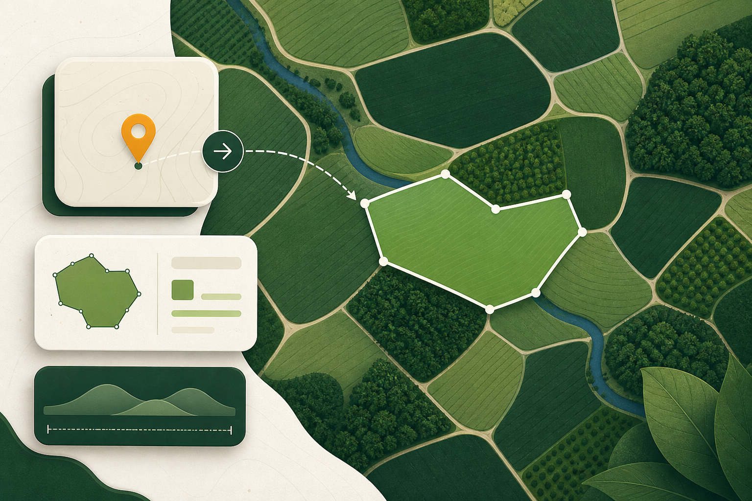
Points, polygons and the four-hectare rule
When EUDR geolocation may be a point and when it must be a polygon, what six decimal places actually buys you, and the geometry that fails validation.
7 min read
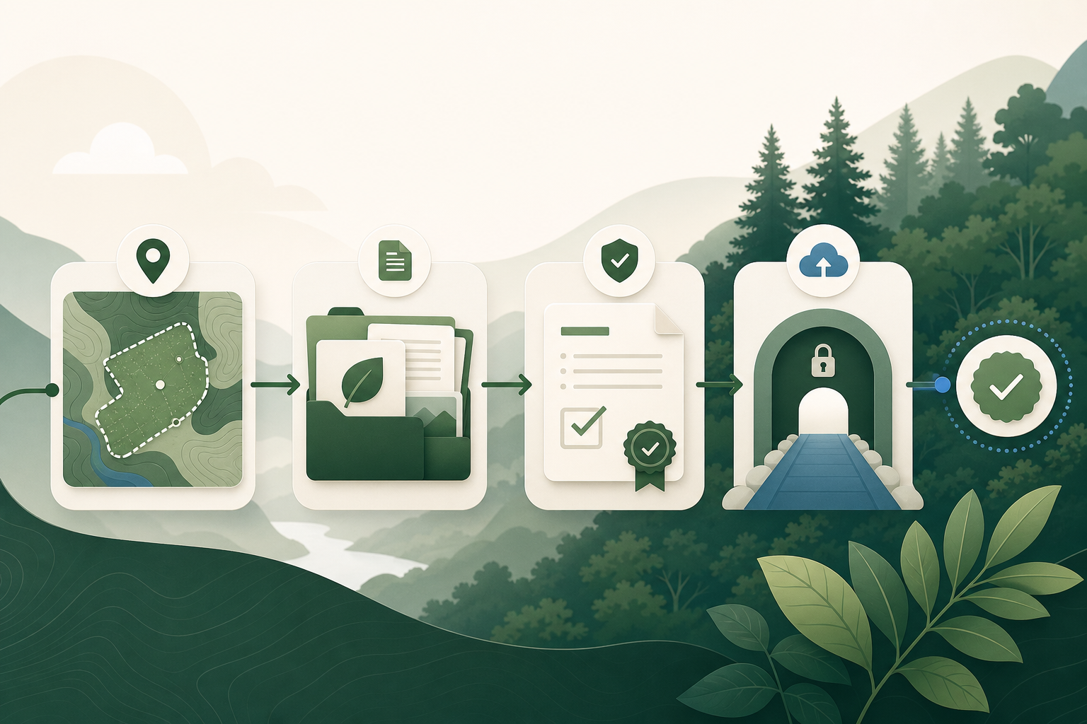
The Due Diligence Statement and the EU Information System, end to end
What goes into an EUDR due diligence statement, how it reaches the EU Information System, what the reference number is for, and what the 2026 rebuild changed.
6 min read

Cocoa under the EUDR
What EUDR covers for cocoa, why the geometry problem is one of volume rather than difficulty, and where the chain stops being traceable.
13 min read