
Plot of land
Land within a single real-estate property, homogeneous enough that deforestation risk can be assessed as one unit — not an arbitrary farm name that mixes unlike patches.
What it means
A plot is the geographic unit EUDR ties to production. Diligence attaches to where the commodity was produced, not to a warehouse or a marketing label.
In the regulation
Under the regulation’s definition, a plot of land is land within a single real-estate property as recognised by the law of the country of production, with conditions homogeneous enough that deforestation risk across it can be assessed as one thing. A legal parcel that mixes a mature block and a recently converted section is not one plot for these purposes.
For cattle, the regulation works with establishments rather than agricultural plots — still with geolocation, typically as points.
How ERWAY treats it
ERWAY stores plots as first-class objects: geometry, commodity, supplier link and risk layers. Averaging unlike patches into one “farm” is treated as a data failure, not a shortcut.
Related terms
- Geolocation data
Geolocation
Latitude and longitude of every plot of land where the relevant commodity was produced (Article 9(1)(d)), as a point or polygon under Article 2(28).
- Geolocation data
Point vs polygon
Article 2(28): a point is one latitude/longitude with at least six decimal digits; plots above four hectares (non-cattle) need a polygon describing the perimeter.
- Geolocation data
Four-hectare rule
Under Article 2(28), plots above four hectares used for a relevant commodity other than cattle need a polygon; at or under four hectares a single point (six decimal digits) can suffice.
Keep reading
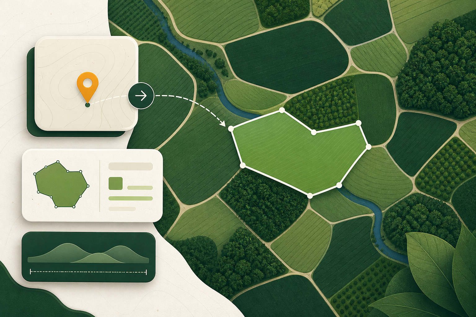 Geolocation data
Points, polygons and the four-hectare rule
When EUDR geolocation may be a point and when it must be a polygon, what six decimal places actually buys you, and the geometry that fails validation.
7 min read
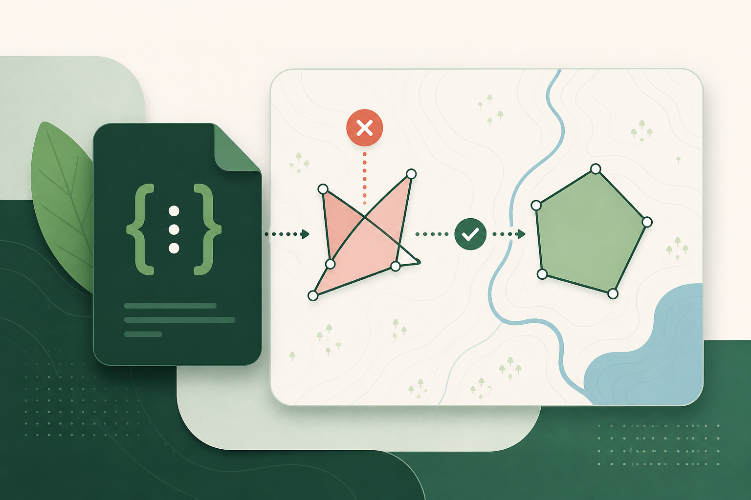 Geolocation data
GeoJSON that passes: the geometry errors that bounce a statement
The geometry and file errors that cause EUDR plot data to fail validation, why each one happens, and how to catch them while they are still cheap to fix.
5 min read