
Four-hectare rule
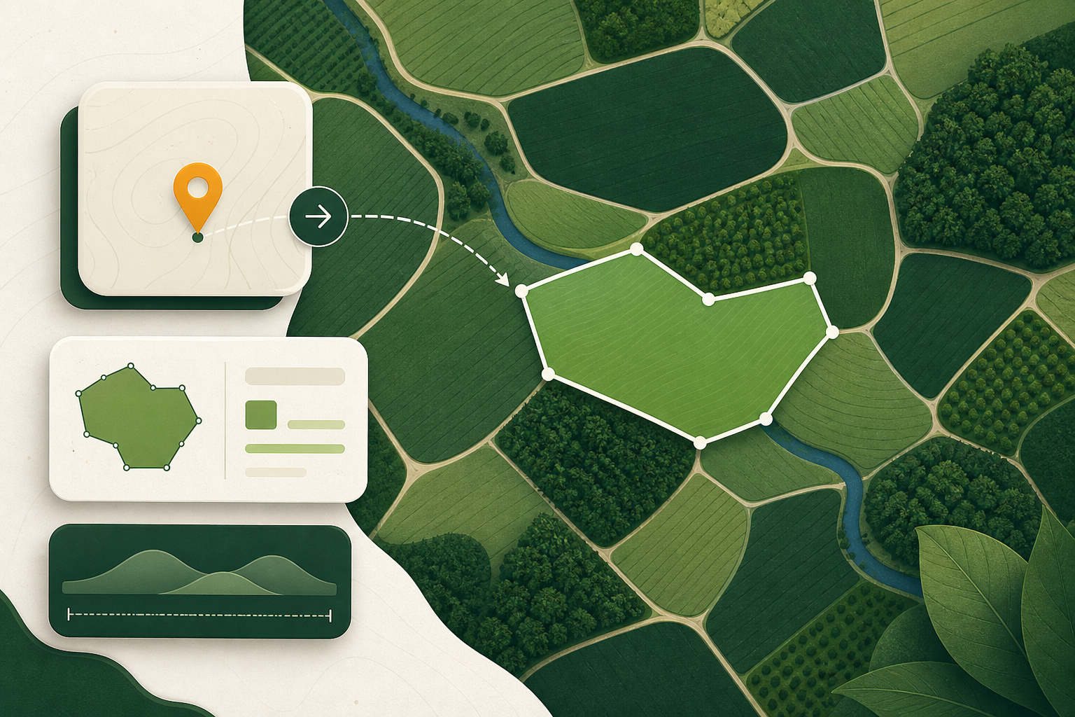
Under Article 2(28), plots above four hectares used for a relevant commodity other than cattle need a polygon; at or under four hectares a single point (six decimal digits) can suffice.
What it means
The four-hectare line decides point versus polygon for most commodities. Above four hectares producing anything other than cattle, one coordinate is not enough.
In the regulation
Article 2(28) defines geolocation as latitude and longitude with at least six decimal digits, and requires polygons with enough points to describe the perimeter for plots above four hectares used to produce a relevant commodity other than cattle. Cattle use establishment geolocation as points.
A low-risk country of origin does not change the geometry you must supply under Article 9.
How ERWAY treats it
ERWAY validation applies that Article 2(28) gate before a statement pack is marked ready — the same rule the points-and-polygons field guide explains.
Related terms
- Geolocation data
Point vs polygon
Article 2(28): a point is one latitude/longitude with at least six decimal digits; plots above four hectares (non-cattle) need a polygon describing the perimeter.
- Geolocation data
Geolocation
Latitude and longitude of every plot of land where the relevant commodity was produced (Article 9(1)(d)), as a point or polygon under Article 2(28).
- Geolocation data
Plot of land
Land within a single real-estate property, homogeneous enough that deforestation risk can be assessed as one unit — not an arbitrary farm name that mixes unlike patches.
Keep reading
 Geolocation data
Points, polygons and the four-hectare rule
When EUDR geolocation may be a point and when it must be a polygon, what six decimal places actually buys you, and the geometry that fails validation.
7 min read
 Geolocation data
GeoJSON that passes: the geometry errors that bounce a statement
The geometry and file errors that cause EUDR plot data to fail validation, why each one happens, and how to catch them while they are still cheap to fix.
5 min read